Region: Goldfields-Esperance
LGA: Shire of Coolgardie
Industry: Gold mining
Coordinates: 31°45′00″S 121°43′00″E
What3Words: ///delis.deflection.couches
Population: 16 (66 in 2016)
Started: 1905
Gazetted: 1907
Closed:
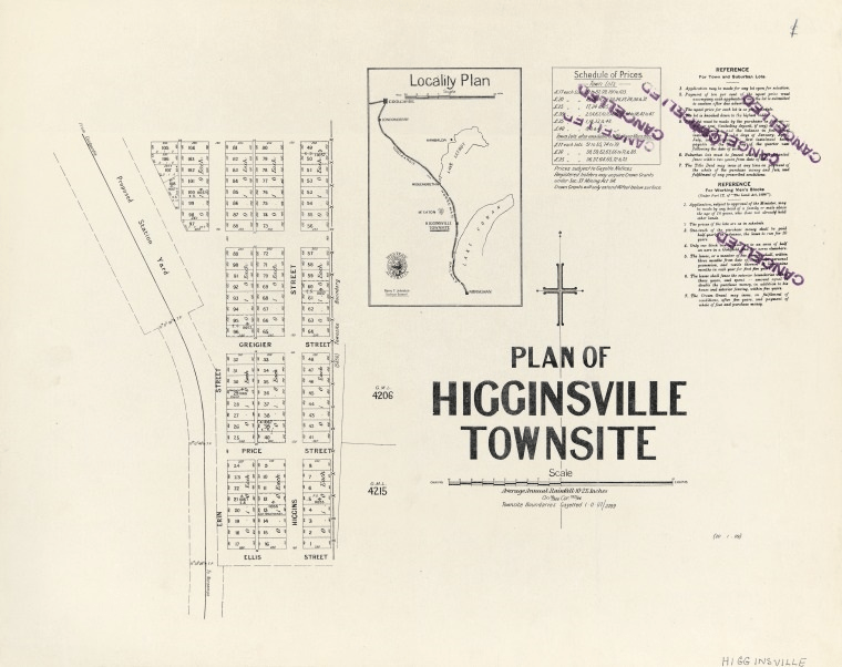
Higginsville was gazetted in 1907 and it is believed that it was named after a prospector, Patrick Justice Higgins. It was located 45Km north of Norseman, halfway between Norseman and Widgiemooltha and was on the Esperance Branch Railway to the west of Lake Cowan. The Higginsville Gold Mine which is still active is near to the old town site2 3 4.
Sources
- Dept of Lands and Surveys, 1909. Plan of Higginsville townsite. Image retrieved 16 Oct 2024 from https://catalogue.slwa.wa.gov.au/record=b1894479~S2 ↩︎
- Moya Sharp, n.d. Higginsville – Western Australia. Retrieved 16 Oct 2024 from https://outbackfamilyhistory.com.au/records/record.php?record_id=175&town=Higginsville ↩︎
- Wikipedia, 2024. Higginsville, Western Australia. Retrieved 16 Oct 2024 from https://en.wikipedia.org/wiki/Higginsville,_Western_Australia ↩︎
- Mindat, n.d. Higginsville Goldfield, Coolgardie Shire, Western Australia, Australia. Retrieved 16 Oct 2024 from https://www.mindat.org/loc-266187.html ↩︎
